Water, Weather & Environment
Easing stormwater quality compliance reporting

Fast-growing county streamlines MS4 complexity
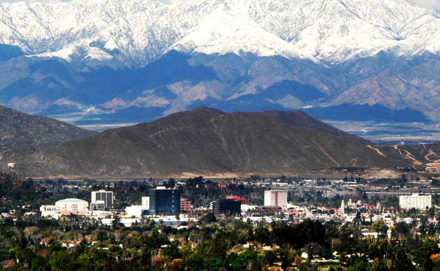
Located inland in Southern California in the western portion of the county of the same name, Riverside County Flood Control and Water Conservation District was formed in 1945. The regional drainage authority is responsible for keeping residents safe from damaging or destructive flood and storm waters. The District operates drainage services within a 2,700 square mile jurisdiction. It also performs floodplain management and development review, flood warning and early detection, and National Pollution Discharge Elimination System (NPDES) compliance. Riverside County ranked #3 in population growth among large counties nationwide in 2018.
- The challenge
- The solution
- The benefits
The challenge
The challenge
The Municipal Separate Storm Sewer System (MS4) regulatory program manages storm water quality from urban runoff to prevent impacts to receiving waters within respective jurisdictions. Meeting stringent Quality Assurance (QA) requirements and compliance reporting are the most time-consuming and most critical aspects of the program.
Strict adherence to QA project plans (QAPP) mandates an excessive collection and storage of meta data – from discrete grab sampling events at specific locations and times to thorough review of lab analyses for particular constituents.
Additional complexities include:
- Managing a large inventory of monitoring locations specially selected to address different objectives of watershed-specific monitoring program components
- Mixed frequency of and approach to each monitoring event at each site, from 1 to 6 times per year, in order
to address the prescribed components of each permit - During each field visit, staff may collect information for up to 80 different data fields
- Collecting thousands of water quality data points during wet and dry weather monitoring in one year
- Maintaining auditable chain of custody (COC) documents and lab results
- Monitoring long-term impacts of wildfire on water quality
The solution
The solution
Digital field data collection
First, field staff collect all mandatory and relevant data during each field visit. The District equips personnel with mobile devices and data collection app, Survey 123 for ArcGIS by Esri. Logic and standardized responses guide employees through a customized form. Options to attach images and videos are available. In addition to confirming sampling locations, the app reduces transcription errors and saves time as data are readily imported into KISTERS Water Quality data management system.
Efficient data & meta data management
Then, KISTERS water quality platform tracks a wide array of parameters, ensuring data completeness and achieving appropriate objectives, and automates a significant part of the data workflow:
- Download of lab EDD files from ftp, email, web, and other sources
- Verification of actual lab results and ordered lab analysis and usage of approved vocabulary
- Analysis of reporting limits, objectives and NPDES permit requirements
- Maintain strict control over data quality using audit trails
Extensive storage of meta data required by the District’s MS4 Regulatory Program can also track changes over time to sampling conditions at specific sites, collection and field processing methods, analytical and observational methods, and more.
Staff members have the ability to add new constituents and results for each monitoring site, station, characteristic, or method as necessary. They can further reconfigure validation and verification rules in the system as NPDES compliance requirements may change over time.
Subsequently, Riverside County Flood Control and Water Conservation District can achieve true defensibility of data collection to meet its quality assurance plans.
The benefits
The benefits
Time Savings. Accuracy. Confidence.
District personnel are able to reallocate their time and attention to more pressing needs and responsibilities.
Automated quality assurance and quality controls process water quality data for format & vocabulary. Errors and warnings are reported to regulatory program staff members.
The suite of streamlined tools gives district professionals new capabilities to generate more comprehensive reports,
increasing confidence that decision-makers have the highest quality information.
Significant time savings over the manual validation process is expected, especially as Riverside County Flood Control and Water Conservation District serves a growing number of residents and businesses.