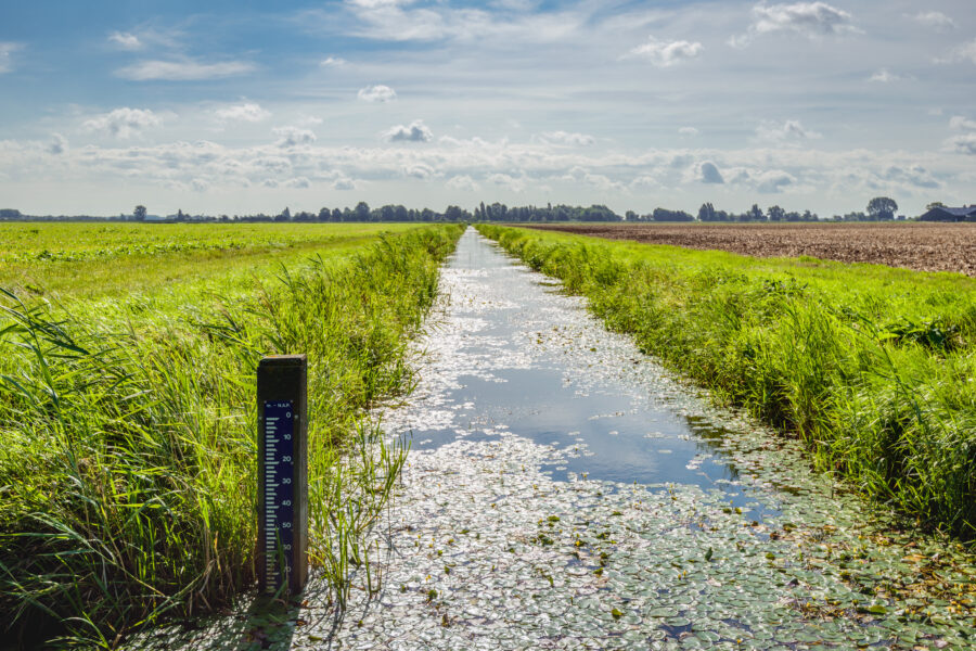
Hydstra
a compact time-series water data management system

expedite water data management, evaluation & reporting
This enterprise software makes efficient hydrography and hydrology data tasks: from data collection and storage to quality control and analyses, from reporting to data publishing.
The data visualization, statistical formula library, and editing tools have been developed, tested and refined over 30 years.
Whether you work in hydrology, meteorology, flood control, or dam & reservoir operations, this enterprise software offers specialized functions and simplifies daily workflows.
Product highlights
Minimal system requirements
If you opt for a NoSQL databases, this proprietary file-based system supports SQL query as users build & maintain a time-series water data archive even using a laptop.
Unlimited storage of monitoring data
Efficient compression techniques give you the capacity to archive any level or counter type data that varies with time. There’s no limit to the number of variables you can store.
Graphical rating curve editor
View & edit rating curves from discharge measurements. Also import USGS SWAMI and QRev files for further analysis. Support compliance reporting with state and federal agencies, such as the USGS and its methodology.
Convenient visualization, reporting & export
A wide range of plots & reports reveal value from your data, while flexible reporting options enable data sharing in popular file formats or via the web.