Fire Weather Monitoring
Identify fire weather danger & improve wildfire preparedness with KISTERS KiFX data analytics

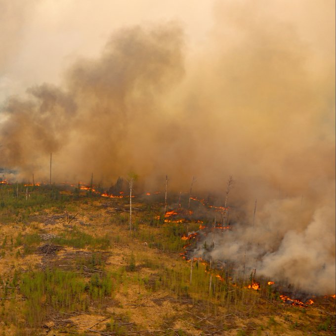
Get an edge on severe weather
At a time when the public faces increased wildfire risk due to warmer temperatures, more frequent drought and forest pests, our partners have asked us to help them do more with their data & our technologies.
Federal, provincial / state, and local authorities that streamline environmental data collection, management and analysis with WISKI are assisting forestry colleagues.
Increasing access to complementary or same datasets and high-efficiency IT tools for automation, analysis and reporting has proven cost-effective.
As more sensors and forecasts collect data, the need for high quality data and meaningful data visualization is more critical than ever to protect people, property and the environment.
Your benefits
Fully-customizable web portal
A web portal equips authorized users with data summary pages and an online interface that allows operators to easily review, edit, and recalculate fire weather indices. At-a-glance data summaries feature color-coded values using the latest available QA’d observation and forecast datasets.
The same portal enables convenient viewing of QA’d datasets via WCAG 2.0 compliant web interfaces for external / public use, meeting public data requirements.
KISTERS web applications support a variety of tabular, graphical, and forecast-based data views in a single interface to provide one stop for fire-related data.
Key features:
- Web portal interfaces for data access by internal users
as well as external / public users - Editable web interface for data correction and on-the-fly index calculation
- WCAG 2.0 compliant
- French and English interfaces available
Integration of a variety of forecasts
Key to KISTERS Fire Weather software KiFX is the simple and easy incorporation of diverse forecasts to improve fire risk forecast accuracy.
KISTERS datamart includes most publicly available models from Environmental & Climate Change Canada (ECCC), the U.S. National Oceanic & Atmospheric Administration (NOAA), the European Centre for Medium-Range Weather Forecasts (ECMWF), and other globally recognized forecasting organizations.
Standard parameters (air temperature, relative humidity, wind direction, wind speed, precipitation, etc.) and advanced parameters from the GEM, HRDPS, NOAA, and HRRR models are frequently used as inputs to fire risk forecast calculations.
KISTERS offers a standardized workflow that acquires and merges observed data with forecast data to feed fire risk calculations.
Key benefits:
- Increased accuracy of fire risk calculations
- Access to a wide variety of forecasts from different providers
- One single solution for both observed and forecast datasets
Product highlights
Robust, secure, and high-performance storage & analytics
Robust, secure, and high-performance storage & analytics
With more than 60 years in environmental data management, we have developed comprehensive and, above all, reliable and efficient databases with powerful calculation engines.
Well-designed solution architecture provides unlimited storage capacity for an unlimited number of parameters, so your system scales as you collect more data over space & time. Furthermore, all original / raw data are stored separately from edited data to maintain data integrity.
We can import, store, and process your data fast and properly.
Customized to your forest fire needs
Customized to your forest fire needs
Within WISKI, we work with your forestry & forest fire management staff to identify your specific zones of interest, hotspots and environmental data inputs to localize the fire weather index.
Also identify data gaps in your monitoring network, and install sensors or subscribe to high-resolution data services.
Tailored warnings and alerts
Tailored warnings and alerts
There’s nothing arbitrary about these forecasts.
Combine past & present data with forecasts to generate automated warnings when your criteria are met.
With a few clicks, identify hotspots or zones of interest. Conveniently upload polygons from your GIS platform.
For timely and effective dissemination of warnings you decide who, how and when messages will be issued.
Once WISKI knows your interests, it automatically calculates the fire weather index — and you simply access your results as maps, charts and tables.
Esri arcGIS integration
Esri arcGIS integration
Integrate geo-referenced data with time series information to better visualize trends. Explore problems and/or progress occurring within a particular station, user-define group of stations, state or region. The combination of market-leading GIS tools and data management technologies empowers users to simultaneously view, query, and perform complex operations on data from multiple stations. Create static or animated maps for reports, websites and presentations.
WISKI Extensions / Plugins for ArcGIS and ArcGIS Pro
WISKI Arc extensions and plugins easily provide access to information secured in KISTERS data management systems. Esri GIS users can readily discover, analyze, report and share insights. KISTERS plugins show WISKI navigation tree views within the Esri desktop application. Directly access WISKI data – station basic data, time series, and quality samples – for analysis and viewing with extensive GIS functionality.
The barrier-free integration with GIS enables geospatial analysts to load current data values as symbols for a specified time series group within the ArcGIS session. Also digitize and adapt station coordinates on the basis of available background maps if no measured coordinate information is available.
This option is highly recommended for agencies with users highly skilled in GIS. It saves considerable time as these professionals extend the value of ArcView, ArcGIS or ArcGIS Pro interfaces, and won’t need to learn to navigate the WISKI user interface.
WISKI Web Mapping
Using the ArcGIS Javascript API, WISKI Web products provide high-quality mapping tools within an online interface. The API allows KISTERS to embed maps in the WISKI Web solution, so users can visualize time-aware data using the TimeSlider widget.
Informed by remote sensing
Informed by remote sensing
Earth-observing satellites can capture real-world phenomena as raster data. Think of the data format as digital aerial photos. Information from these images adds to the ground-based monitoring data collected by many organizations.
When imagery is available only as a raster, comprehensive analysis with other data formats is hindered. The high-throughput computing to extract detailed information from satellite images is often cost-prohibitive. The KISTERS IT stack now enables fire weather analysts and fire behavior analysts to align points, lines, polygons and surface measurements with time series data.
Unlock insights from past, present and forecast datasets from NASA or other raster data sources.
- National Aeronautics and Space Administration (NASA) observations
Active Fire Data for North America (DS-NA)- 10 km / daily resolution
- from MODIS and NOAA-20
- National Aeronautics and Space Administration (NASA) forecasts
Fire Weather Index (global)- 25 km / daily resolution
- new forecast every day for 7 days ahead
- National Aeronautics and Space Administration (NASA) observations