
Early flood awareness with autonomous rain gauge station.
October 19, 2026
In a FEMA-funded study, the U.S. Geological Survey (USGS) and U.S. Army Corps of Engineers (USACE) established the first nationwide benchmark dataset classifying historical floods by causal mechanisms. Floods were manually typed by domain experts using multiple lines of evidence to identify a primary surface water input of each flood: rainfall, snowmelt, or both. Analysis of six U.S. river basins across large hydrologically diverse regions and 1,763 annual maximum flood peaks from the years 1851 to 2022 resulted in a historical average of 49% flood peaks driven by rainfall.
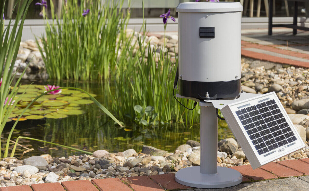
To assist public works departments and watershed protection districts, KISTERS manufacturers self-contained rainfall measurement and data logging stations. The RainTrak rain gauge station enables organizations to add more monitoring sites with less infrastructure demand. It is ideal for remote, temporary, and emergency deployments and network densification.
RainTrak stations are available in three versions – TB3, TB4 and TB7. Compare each version.
Equipped with a solar panel to sustain power in remote locations, simply add a valid SIM card to enable network connection and operate within minutes of installation.
Rain measurement
The precipitation gauges precisely measure the amount of rainfall by collecting rain in a small seesaw-like bucket that tips when it collects 0.01 inch of rain. In particular KISTERS tipping bucket rain gauges are known for accuracy especially during intense rainstorms. These instruments are deployed throughout the U.S. and commonly found in hurricane prone areas, from Texas to Florida.
Data storage and transmission
The embedded iRIS UnderCover data logger is considered the “brains of the operation” for each station. The small electronic device records and transmits precipitation data, which helps flood forecasters and flood control operators assess risk of flooding. A large amount of rainfall over a short period of time is especially critical.
Thousands of these weather stations have been collecting discreetly data in remote locations as well as urban watersheds. Station deployment easily reaches 20 years or longer with regular in-field calibration.
Although the public rarely hears about industrial and scientific-caliber instruments like the RainTrak, federal, state, and local government agencies rely on it to uphold public safety.