HydroMaster
minimize storm impacts to your operations & safeguard assets with high-resolution rainfall data as a service
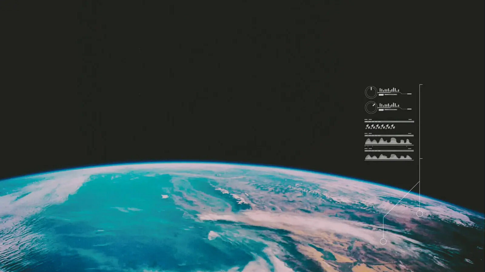
8770000+
km2 operational coverage, to deliver high-resolution data that matters to you.
60000+
radar images generated daily,
delivering the most up-to-date insights to you.
5300+
WMO observation stations
constantly monitoring precipitation
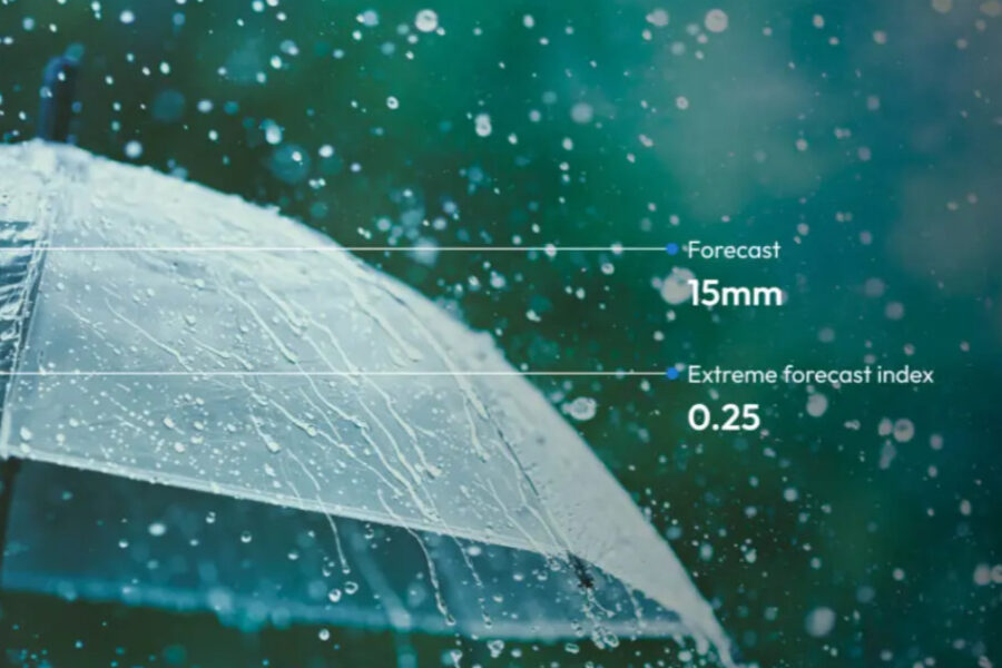
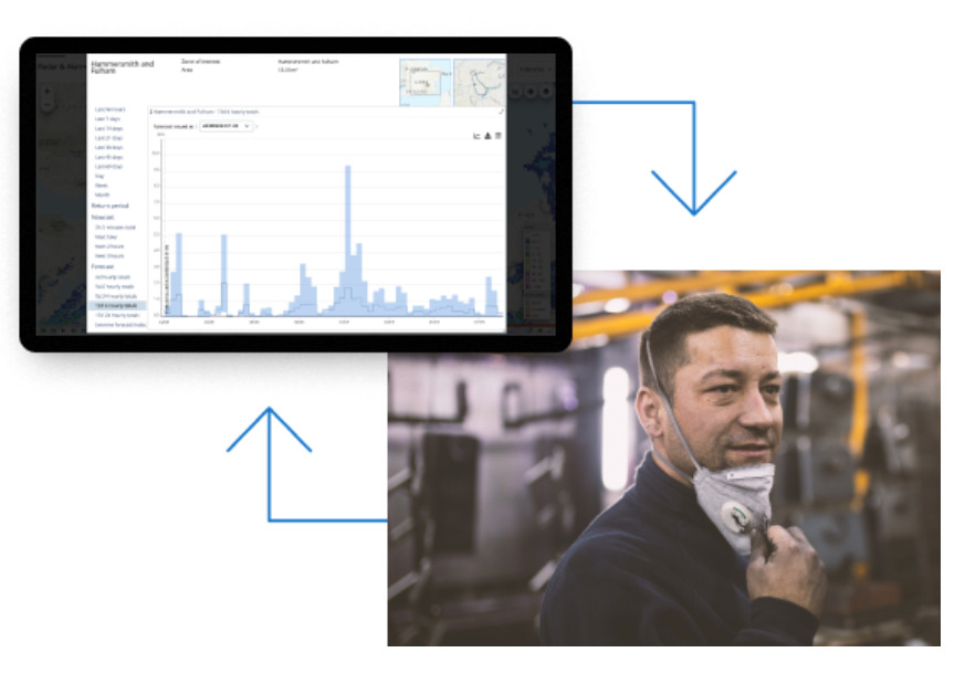
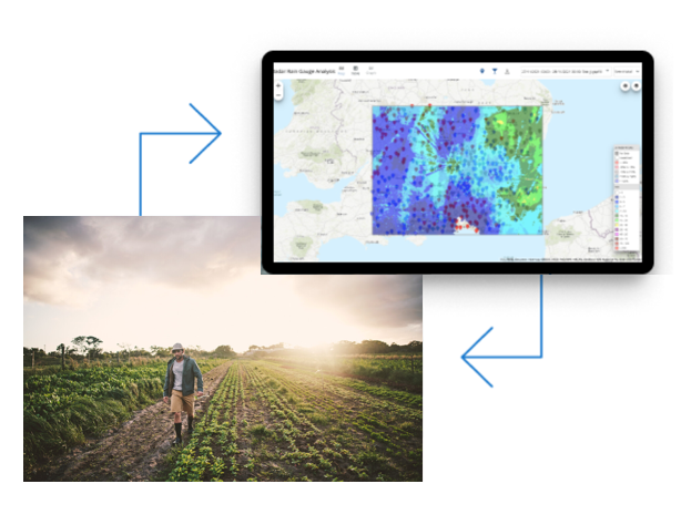
Get an edge on severe weather
Using a web browser, access high resolution radar rainfall forecasts up to 14 days in advance. Then maintain efficiently drainage during the storm.
Stay alert of known flooding hotspots
Get location-specific alerts from nowcast data as early as 60-90 minutes before a storm.
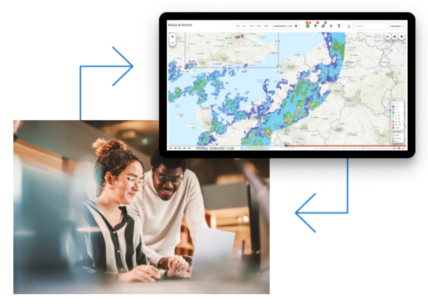
Support water management goals
Help maintenance teams uphold public safety or optimize water storage, above or below ground, with real-time observations, maps and dashboards
Download brochure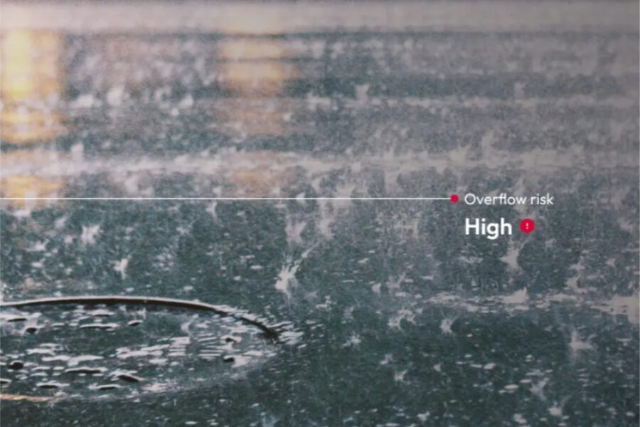

Key features
Industries monitoring rainfall
The NowCast feature would have bought 3 hours of warning time, time that would have been very useful to assess risk, options, and make proactive decisions.
Dwight Boyd, Director Engineering with Grand River Conservation Authority