Water, Weather & Environment
Maximizing water efficiency in fertile croplands
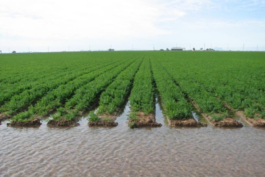
The Imperial Valley was uninhabited. However, since 1901, Colorado River diversions have made the southern California desert one of the most productive farming regions in the world. Imperial Irrigation District (IID) manages an elaborate water network that allows crops to fill U.S. supermarkets all year.
- The challenge
- The solution
- The benefits
The challenge
The challenge
Maintaining constant readiness to respond to environmental and regulatory changes requires predictability. Early adoption and internal development of an enterprise data system in the 1990s had supported decisions and operations for 20 years. However, opportunity costs to maintain the aging system as well as demands for more and varied data collection and processing were increasing.
The solution
The solution
Imperial Irrigation District chose KISTERS through a competitive tender in 2016. Initially WISKI replaced the legacy water information system (WIS) much like a heart transplant.
The KISTERS platform has been incorporated with all IID modules for daily workflows, historical datasets, and future data plans and benchmarks. Affirming quality data and automating routine data tasks were fundamental to reinvigorating related subsystems.
WISKI now circulates information of high confidence levels to five major applications:
- Main Canal Decision Support System (MCDSS)
- IID/MWD Water Conservation Projections
- Quantification Settlement Agreement (QSA) Water Accounting System
- Safe Drinking Water Program
- On-Farm Decision Support System (OFDSS).
The benefits
The benefits
Time-savings in days, not hours. Upgrading the legacy water information system to WISKI has saved many labor-days. The KISTERS platform offers significant task automation options to import data from external and internal sources. In addition, data validation agents and analytics essential to flow, level and water balance are preprogrammed in the software.
Better data visualization and user experience. The modern desktop and web interfaces ease user experience when data retrieval, review, and editing need to be performed. User notifications with links to issues that require attention in addition to intuitive tree views, with expand / collapse options, support efficiency. Notable visualization features include precipitation time series, GIS-based field maps, and dashboards.
Higher compliance and accountability. More accurate tracking of water conservation (less delivered water in addition to incentive payments) verifies the district is complying with the Quantification Settle Agreement (QSA) and related agreements to long-term obligations to develop and transfer a total of 303,000 acre-feet (337.7 million m3) of water per year to the San Diego County Water Authority and the Coachella Valley Water District.