Skip to content
>

KISTERS Field Sample Management

best-in-class Esri & KISTERS solution to collect, manage & report environmental field data & sample results

streamline data from field data collection to publishing

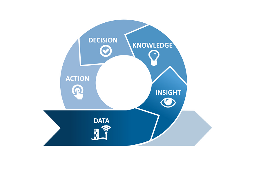
This turnkey solution manages an environmental manager’s responsibilities from the scheduling of field data collection to QA/QC of EDDs to the reporting of discrete monitoring program activities.

First, Esri Field Apps facilitate offline and online data collection during water and soil sampling events.
Logic-based surveys feature basic QA/QC, so you more accurate sampling data and metadata are transferred to the database.

KISTERS software enables advanced QA/QC and analyses, automates preparation of data products and reports, and publishes data to a web portal.

Options include viewing and sharing data products in ArcMap, ArcGIS Pro, and ArcGIS Online
via KISTERS array of APIs, plugins and extensions for Esri technology including dashboards.

22+

Solution has been selected to consolidate two dozen different national data repositories on water quality; hydrology and water science; aquatic contaminants; ecology; and emergencies, analytical laboratories & research

500000+

estimated observations added per year while harmonizing data formats and unifying QA/QC, analyses, and data management capabilities

3000000+

gigabytes of data comprising federally-collected discrete & continuous water chemistry, discrete biological, and remote sensing datasets

Key benefits

1

All-in-one software for field sampling planning, analysis and reporting

Orchestrate all aspects from site visits schedules to analysis of multidisciplinary datasets in KISTERS environmental data management system. This comprehensive software covers in-depth analysis, reporting and long-term storage. Ideal for monitoring water quality, soil health, biological observations and more field sampling data.

2

Mobile field survey apps that work even offline

Esri Field Apps ease data collection even in remote, hard to reach locations without wi-fi connectivity. Survey logic supports thorough data collection at each site. Field staff collect appropriate data and metadata to comply with QAPP. Photos and video enhance records.

3

Data confidence from extensive quality control

Up to 255 quality codes may be defined, color- or texture- / pattern-coded and applied automatically to field sample values to identify exceedances, suspect and acceptable limits. Upon review, approved users may change quality flags & save remarks.

4

Data visualization & online publishing flexibility

Publish quality-assured data online and GIS data products in a KISTERS web portal. Or view KISTERS data products in Esri software, including ArcGIS dashboards and StoryMaps. APIs create more options for data access and scripting.

5

Ease of contracting

As a silver level member of the Esri Partner Network and an Esri Authorized Reseller, KISTERS can conveniently implement the best in timeseries and spatial environmental data management solutions for you.

Interested in KISTERS Field Sample Management?

Let us know your goals & challenges.

Arrange a demo